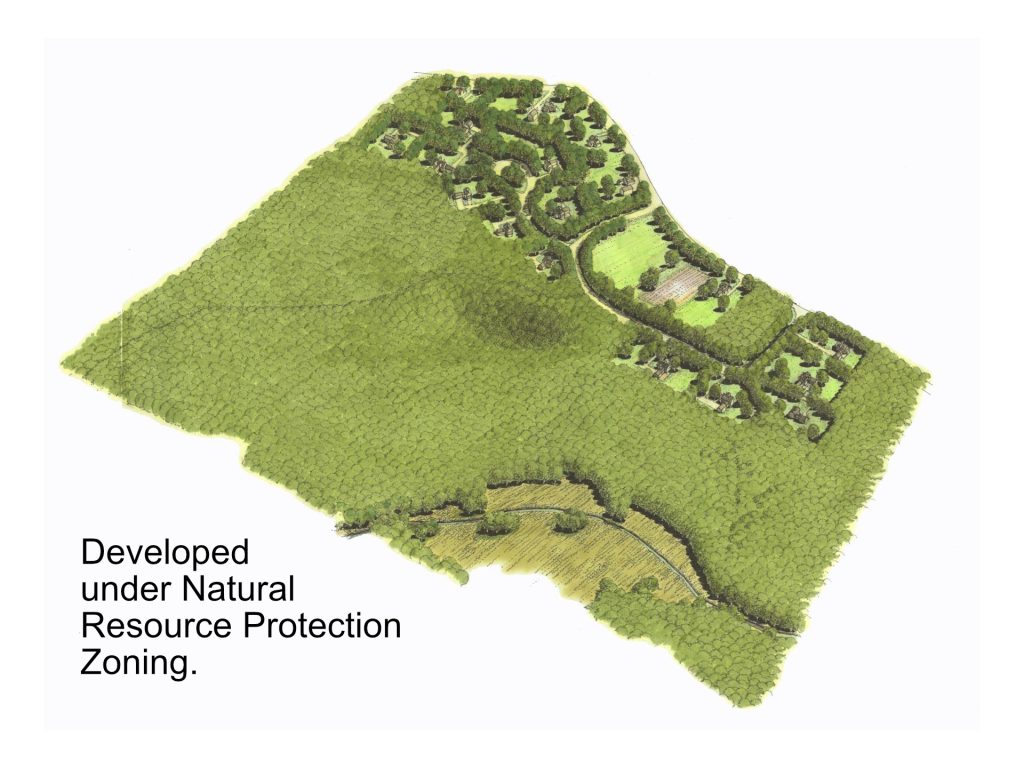
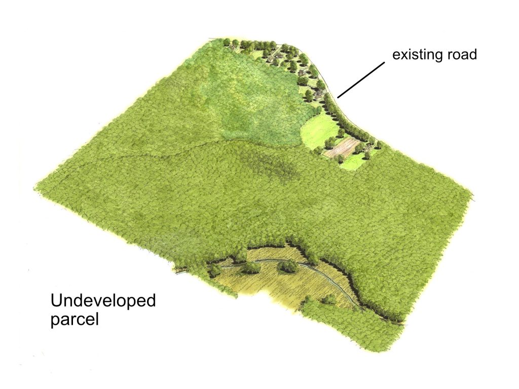
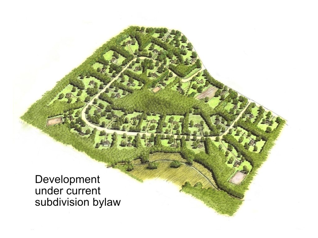
The following is a graphical representation of the principal difference between between a standard subdivision development and a NRPZ development. The graphic shows a parcel of land with a road along the upper right side and a stream and wetland in the lower corner of the parcel. There are some existing houses along the road.
Undeveloped Parcel of Land
Standard Subdivision Development
In a standard subdivision a road is constructed to create frontage for lots. The number of lots is based on the amount of frontage created by the road. In most of Ashby 200 feet of frontage and 2 acres of land is required for a lot.
NRPZ Development
Under NRPZ the number of lots is determined by a formula and their location is determined by the conservation analysis which identifies areas of the parcel which are more suitable for building. There is no fixed frontage requirement for lots and the area requirement is determined by the land needed for the well and septic system.